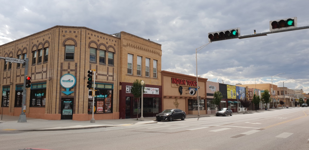
Route 66 is the most famous road in the world, known by Americans as the “Mother Road.” The goal of its creation was to establish a convenient road connection to the West Coast. There was nothing romantic about it. Millions of people set out westward in search of a place to live, new opportunities that would offer them a better life. The road brought economic development, both on a national scale and opportunities for local communities living along its route. However, before the famous Route 66 was established, hundreds of thousands of people traveled westward along primitive trails marked by travelers, fur traders, the military, and pioneers.
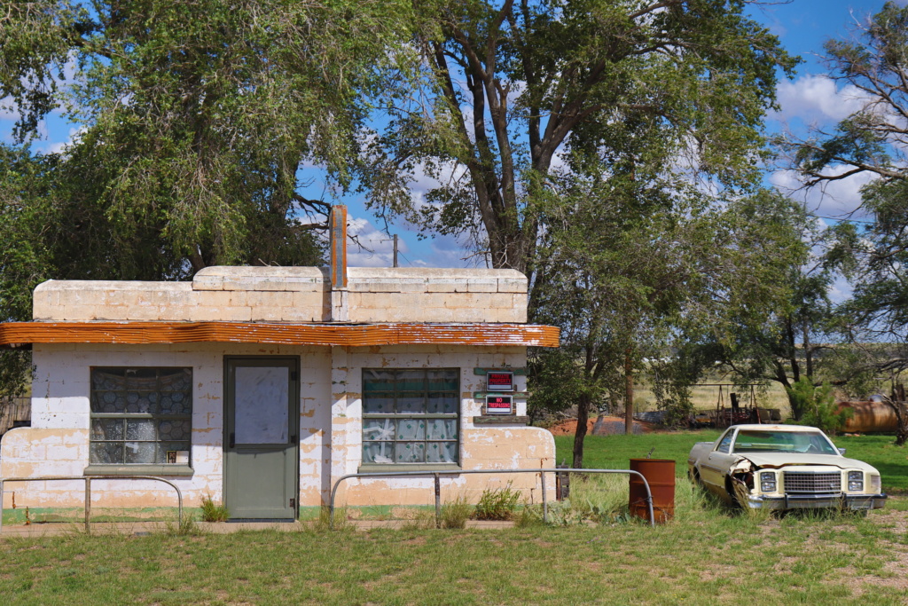
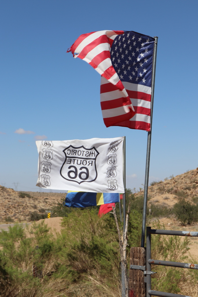
The conquest of the American West began more than a hundred years before the creation of Route 66. During this time, the eastern states of the U.S. were thriving. The areas from the Atlantic coast to the banks of the Mississippi were already relatively discovered and could be considered “tamed.” The lands to the west were unknown. People living on the eastern coast still had little idea of what lay beyond the shores of the great river. Fragmentary information about endless prairies, deserts, and Native Americans living in the Southwest reached the public’s awareness. In those times, traveling westward was primarily the domain of explorers. The most famous expedition was the journey of Lewis and Clark from 1804 to 1806. They set out from St. Louis and succeeded in reaching the Pacific coast and back. They proved that it was possible to cross the continent. Over the years, the routes to the west were marked by successive explorers, such as John C. Fremont, who, forty years later, from 1842 to 1847, undertook three expeditions to the west. The maps he created were used by pioneers for decades.
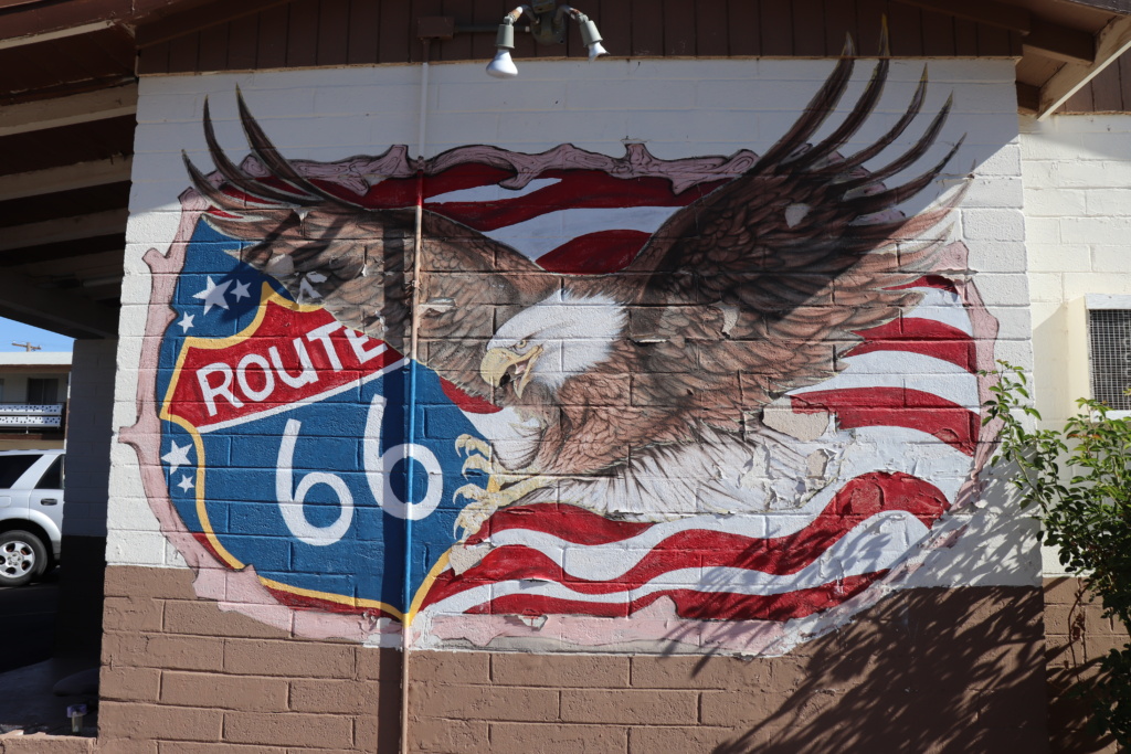
Why did people travel west? Why did they embark on dangerous journeys to cities like Oregon City, San Francisco, Los Angeles, or San Diego? On the western side of the continent lay the rapidly developing California, which enticed with the promise of a better life. Not only job opportunities but also the climate and, in the short term, the California Gold Rush attracted hundreds of thousands of people. The construction of railroads and improvements in security opened the West to more settlers. Pioneers also headed to the southern states, like Texas, lured by free land, offered by both the Mexican and American governments. The southern states were ideal for raising large herds of cattle.
Before the completion of the transcontinental railroad, people traveled on foot or by wagon, usually pulled by mules or donkeys, as they were more durable than horses. For safety reasons, they would organize into large groups, often with dozens of wagons led by guides. To make this journey, they needed routes that would allow them to cross the continent. For most of the 19th century, these routes were very primitive and often followed paths laid out by Native Americans. The longest and northernmost of these routes was the Oregon Trail, which started in Missouri and stretched about 3,200 km, passing through Missouri, Kansas, Nebraska, Wyoming, Idaho, and Oregon—essentially the central part of today’s USA. Considering that pioneers traveled at a pace of 20–25 km per day, crossing it took over six months.
Another route was the Mormon Trail, approximately 2,000 km long, which was traveled by the Mormons in 1846–1847. It passed through the present-day states of Illinois, Iowa, Nebraska, Wyoming, and Utah. There was also the California Trail, but it was more of a general term for the route heading west, which started and ended at several points. In the east, pioneers mostly set out from the cities of Omaha, IA, or Independence, MO, traveling through present-day Nebraska to reach Wyoming. There, the trail split into several paths, leading through Idaho or Utah, and then reconnected in Nevada before continuing to California.
It is estimated that between 1843 and 1869, around half a million people traveled westward along these trails. Regardless of the chosen route, the journey was slow and difficult. Pioneers were exposed to diseases, harsh weather conditions, and death from accidents. Approximately 50,000 people lost their lives (one-tenth of those traveling) while attempting to cross the American continent from east to west. Most died from diseases, mainly smallpox, dysentery, and cholera. Hostile encounters with Native Americans, often the primary source of concern, were relatively rare. People died from being run over by wagons, freezing, starvation, or being trampled by bison.
The creation of routes leading further south began with the trail to Santa Fe, mapped out in 1821 by William Becknell. The city was the northernmost urban center of Mexico. Originally, the trail served as a route between the neighboring states. From Santa Fe, continuing westward to California, through Colorado, Utah, or partially the northernmost part of Arizona, ran the “Old Spanish Trail.”
In the mid-19th century, the California Gold Rush erupted. The prospect of quick wealth captivated the imagination of hundreds of thousands of people. In a relatively short period, between 1848 and 1855, around 300,000 people arrived in California. About half of them took the sea route, while the rest traveled the so-called Southern Trail. In just a few years, approximately 150,000 people traversed it. From Santa Fe, they traveled southward, and then along what is now the U.S.-Mexico border to Los Angeles and San Diego. Due to milder winters and the absence of crossings over high mountains, the southern route was passable year-round. However, the biggest challenges were the lack of water and fuel. Temperature differences of up to 30 degrees Celsius between day and night posed risks of illness and hypothermia. Interestingly, buffalo dung was often used as fuel.
There were many routes leading west, but they were not roads; they were trails that forced travelers to overcome all possible topographical obstacles: forests, prairies, deserts, mountains, and rivers. The efforts of hundreds of thousands of people, traveling to the other side of the continent “towards a better future,” became legendary. The pioneers’ hardships are one of the founding pillars of the United States, and this should be kept in mind when considering the “legendary significance” not only of the old trails but also of the later Route 66. With the completion of the transcontinental railroad in 1869, the era of wagon train migrations ended. From then on, settlers could travel to the West Coast faster and more safely. However, the romantic stories of the Wild West conquest remained in the collective consciousness and, later cemented by Hollywood films, became a permanent part of U.S. culture.
The creation of Route 66
The growing need to build modern roads in the U.S. led to the adoption of the Federal Highway Act in 1921, which guaranteed the necessary funds for the plan’s implementation. Centralized funding, in cooperation with local and state authorities, significantly accelerated construction. Before its passage, there were 2.5 million miles of roads in the U.S., of which only 1.29% were in any way paved. The rest were unpaved. The plan’s implementation was also supported by the great boom in car sales. By the 1920s, there were already 17 million registered cars in America, compared to just 180,000 ten years earlier. The complete road construction plan was approved in 1925, and in 1926, Route 66 was designated as one of the most important routes connecting the east and west of the country.
The promoters of the creation of a road connection between Chicago and Los Angeles were entrepreneurs Cyrus Avery, known as the father of Route 66, from Tulsa, Oklahoma, and John Woodruff from Springfield, Missouri. They founded the National U.S. 66 Association, whose goal was to promote the highway and its complete paving. Avery was the first to call the route “The Main Street of America,” which was a very effective marketing message. Naming it this way led many people to see a good business opportunity. The fact that Route 66 passed through hundreds of small farming towns had a huge impact on their development. The road connected the main streets and markets of these towns, fostering trade and infrastructure. Small businesses thrived, and thanks to the national highway, local products and agricultural goods could be transported across America. In most towns, gas stations, auto repair shops, restaurants, and motels began to open. The association also promoted the beauty of the landscapes through which the route passed, including the Ozarks, Texas, New Mexico, Arizona, and attractions that could be reached via Route 66, such as the Grand Canyon in Arizona. The establishment and continuous improvement of the highway impacted the growth of freight transport, which began to compete with the railroads. Route 66 and its modernization created jobs for thousands of people, which was of immense importance during the difficult times of the Great Depression in the 1920s and 1930s. Thanks to investments and the efforts of thousands of people, Route 66 became the first “highway” in the USA to be fully paved with concrete by 1938.
The towns through which Route 66 was to pass were not chosen by chance. The initial route of the highway had been planned much earlier. In 1857, the U.S. Congress appointed Colonel Lt. Edward Fitzgerald Beale to develop a trail between New Mexico and California. His route connected later towns on Route 66: Albuquerque, Grants, Winslow, and Flagstaff. Then, in 1913, William Hope “Coin” Harvey founded The Ozark Trail Association, promoting the development of roads, their signage, and the creation of maps for the Ozark region. This trail connected Missouri, Oklahoma, Texas, and eastern New Mexico. When the route for Route 66 was decided, it was planned to pass through the Ozark region, from Missouri to New Mexico.
During the planning of the national road network, a system for naming the highways was also developed. North-to-south roads were to be numbered with odd numbers, starting from 1 on the east coast and ending with 91 on the west. East-to-west roads were to be numbered with even numbers, starting from 2 in the north and ending with 90 in the south. The major transcontinental highways were to be designated by multiples of 10. Route 66, as a route running from east to west across the continent, was originally assigned the number 60. However, due to inconsistencies in the highway naming system, as the starting point of the road was in Chicago rather than on the east coast, the name was eventually changed to Route 66. *https://www.theroute-66.com/history.html
Initially, 75,000 miles of existing “trails” were adopted into the national highway system. Most of them were unpaved. Segments of local routes were connected to make use of existing roads and focus on their modernization, which was an easier solution than creating entirely new ones. This is exactly what happened with the famous route. Many local streets passing through small towns were renamed. Often, these were unpaved sections in very poor condition. Government assistance was requested to pave and concrete them, which improved their passability year by year. In the early years, only 800 miles were paved. The rest was gravel or not paved at all. During rainfalls, travelers often got stuck in the mud. To free their vehicles, they had to rely on local helpers. At the time, many people made a living by providing such services. The most famous stretch where wagons and cars got stuck in the mud was Jericho Gap in Texas, a section about 15 km between Jericho and Alanredd. The road was in such terrible condition that the entire local community was involved in pulling travelers out of the mud. Mules or tractors were used for this. It is no secret that nearly every farmer living in the area had a mobile water tank, and they were often accused of deliberately flooding the road under the cover of night to profit from travelers’ misfortunes the next day.*
There were several such places along Route 66, with another example being in New Mexico near Glenrio. Travelers feared these spots not only because of the road conditions but also due to criminals, for whom disabled vehicles were an easy target for attacks.
During construction, various types of surfaces were experimented with. Some sections were paved with brick or wooden planks. The professional paving of the road occurred in stages. A short section in Kansas, where Route 66 spans only 21 kilometers, and a much longer one in Illinois, 465 kilometers, were fully paved by 1933. At the same time, only 66% of the surface in Missouri and 25% in Oklahoma was paved. From Oklahoma to the West Coast, the road was gravel or completely unpaved. Its full completion took until 1938. Initially, it was planned to reach Los Angeles, but in 1936 it was extended to Santa Monica, which remains an independent city, though part of the Los Angeles area.

